File:Mappa della Provincia di S. Paolo.jpg
Jump to navigation
Jump to search

Size of this preview: 800 × 540 pixels. Other resolutions: 320 × 216 pixels | 640 × 432 pixels | 1,024 × 691 pixels | 1,280 × 864 pixels | 2,560 × 1,728 pixels | 7,240 × 4,888 pixels.
Original file (7,240 × 4,888 pixels, file size: 4.81 MB, MIME type: image/jpeg)
Captions
Captions
Add a one-line explanation of what this file represents
| Description |
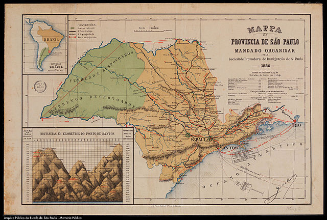
Italiano: Mappa della Provincia di San Paolo organizzata dalla Società Promotrice d'Immigrazione di S. Paolo |
|||||||||
| Date | ||||||||||
| Source | in: Vado nella Merica. É li di là delle colline. Budrio e la grande emigrazione (1880-1912) di Servetti Lorenza. Venezia: Marsilio, 2003 | |||||||||
| Creator |
Império do Brasil |
|||||||||
| Permission (Reusing this file) |
|
|||||||||
| Geotemporal data | ||||||||||
| Bounding box |
|
|||||||||
| Georeferencing | ||||||||||
File history
Click on a date/time to view the file as it appeared at that time.
| Date/Time | Thumbnail | Dimensions | User | Comment | |
|---|---|---|---|---|---|
| current | 04:01, 18 October 2015 | | 7,240 × 4,888 (4.81 MB) | RobSabino (talk | contribs) | Arquivo de melhor resolução |
| 20:01, 31 January 2009 |  | 1,391 × 932 (885 KB) | Dantadd (talk | contribs) | {{Information |Description={{it|Mappa della Provincia di San Paolo organizzata dalla Società Promotrice d'Immigrazione di S. Paolo}} |Source=in: ''Vado nella Merica. É li di là delle colline. Budrio e la grande emigrazione (1880-1912)'' di Servetti Lor |
You cannot overwrite this file.
File usage on Commons
There are no pages that use this file.
File usage on other wikis
The following other wikis use this file:
- Usage on en.wikipedia.org
- Usage on es.wikipedia.org
- Usage on mwl.wikipedia.org
- Usage on nl.wikipedia.org
- Usage on pt.wikipedia.org